17th Century England
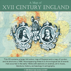
Reproduced from an original publication by the Ordance Survey in 1930, this includes not just a map of 17th Century England but also essays about Stuart England and the English Civil War. There are also chronological tables on science and philosophy, music, art and literature, history, archaeology and cartography.
Modern maps show England in the 17th Century and London circa 1660. Using the Acrobat viewer, it is easy to navigate your war around, and the detail shown is impressive. The map of England shows relief on land and sea and natural features such as forests. Roads are shown based on John Ogilby's road book of 1675, with numbered references to it. The sites of battles and sieges in the English Civil War and the Monmouth Rebellion are marked, plus other events including battles at sea, such as the Battle of Sole Bay in 1672 between the Allied Fleet of England and France against the Dutch.
Also shown are the major products of an area, such as iron, coal, worsted, cotton, silk, broadcloth and so forth. This map will be invaluable for anyone seeking to understand this period of English history. The map of London will be helpful in identifying which areas were either inside or outside the City Wall, and the location of the major sites.
£17.95 with £2.50 P&P
S&N Genealogy Supplies
Manor Farm
Chilmark
Salisbury
SP3 5AF
(01722) 716121
www.genealogysupplies.com |